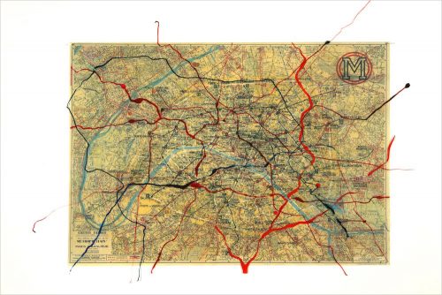
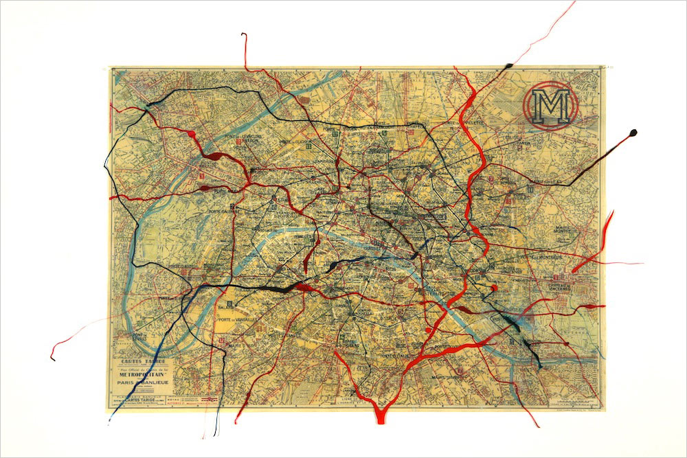
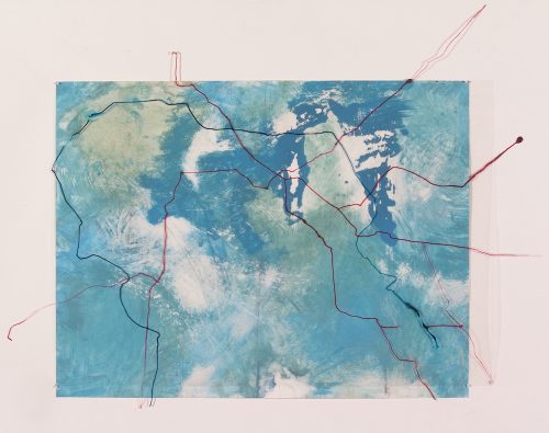
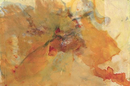
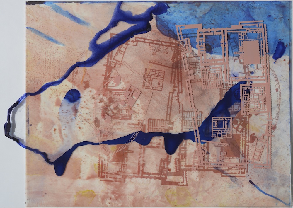
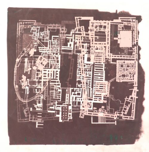
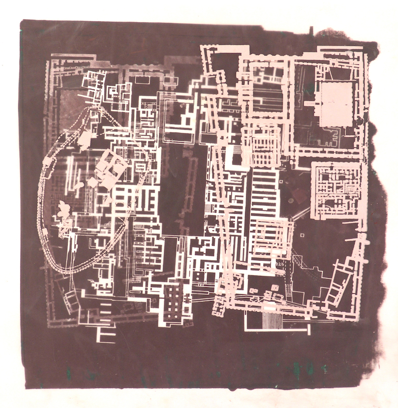
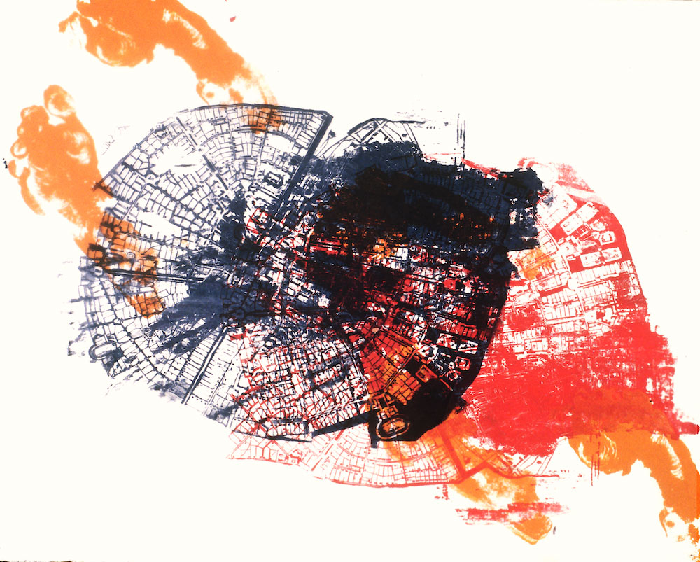
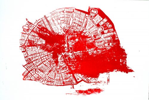
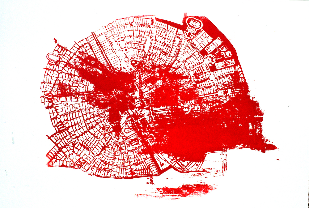
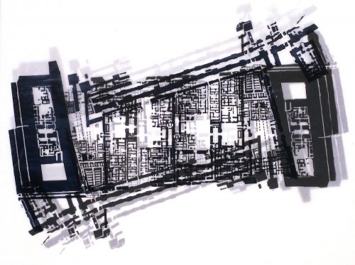
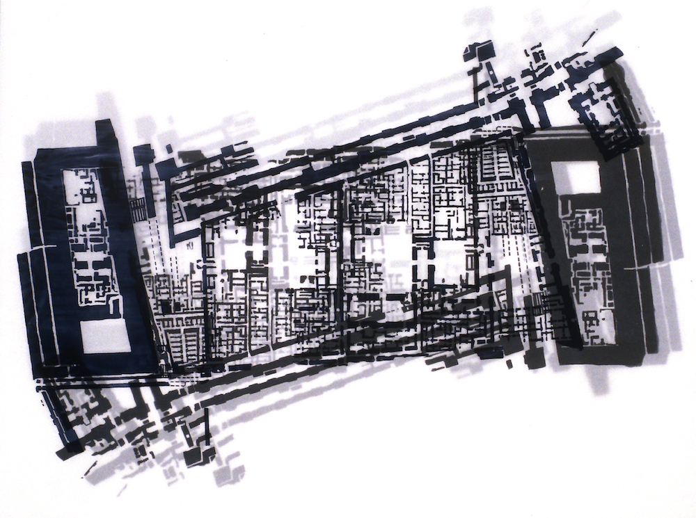
MAPPING
mixed media on paper & mylar, 2004-2007
Maps and geographical structures have played a pivotal role in my work for over two decades. This fascination with geo-political themes stems from the countless stories I learned of my family’s departure from Europe prior and during WWII, as they sought refuge across multiple continents.
These maps are intentionally unidentifiable. My intent is to focus on ruptured borders and fragmented territories, and to reflect the social-emotional impact created by the intersection of diaspora, landscape and memory.
The prints are constructed from multiple sheets of mylar, each serving as a layer of strata. Imagery is sometimes altered prior to the making of the screens, and other times the maps are altered or destroyed as part of the screen printing process. Graphic elements combine with a loosely applied painting process, mimicking the interplay between structure and erosion.